GPS receivers such as GPS units by Garmin help people who are out in the wild hiking pinpoint their exact location on the earth’s surface. For a GPS receiver to accurately pinpoints its geographical location, it will need to connect to at least 3 GPS or GLONASS satellites. Wherever you are, there are at least three satellites about 20,000km above you.
If you have a GPS unit, it will receive the broadcast signals from the satellites in space above you. The GPS receiver will then analyze the signals using the trilateration technique to let you know your exact location.

How do GPS units by Garmin help hikers in the wild?
When it comes to hiking, you will find a GPS receiver to be very useful for a number of reasons. Besides featuring waterproof housing designs, Garmin GPS receivers perform the following functions:
Accurately pinpoint your location
When you’re out in the wilderness hiking, you may run into some trouble as far as tracking your real-time position or location is concerned. But with a high-tech GPS receiver such as GPS units by Garmin, you will know your exact location in a short time. You may ask yourself the question: How’s that even possible?
The answer to that question is very simple: GPS units by Garmin use a combination of GPS and GLONASS satellites to give you more accurate location information in a short time. With a combination of satellites from GPS and GLONASS systems, Garmin handheld receivers have a wide array of satellites to contact for your location.
Also, Garmin handheld GPS receivers feature parallel multi-channel designs that let them connect to multiple satellites simultaneously, and maintaining that connection even when you’re in a place with tall buildings and trees. Since these GPS receivers can analyze signals from multiple satellites, you will have a 3D location information (longitude, latitude and latitude) in a short time.

Sending out and receiving messages
GPS units by Garmin also have built-in messaging functionality that comes in handy when you have a crucial message to relay. Once in awhile, hikers lose their way in the wilderness. At such times, the quickest option for rescue is letting other hikers or family members know your exact location.
If you possess a Garmin GPS unit, you will be able to communicate with your friends or family, thanks to the two-way communicator and emergency locator beacon that are inside GPS units by Garmin. While most Garmin GPS receivers come packed with a two-way communicator, some have a one-way communicator. But the great news is you can still communicate with other hikers who will come for your rescue. I find this feature helpful to hikers who’ve lost their way in the jungle.
Calculating the route
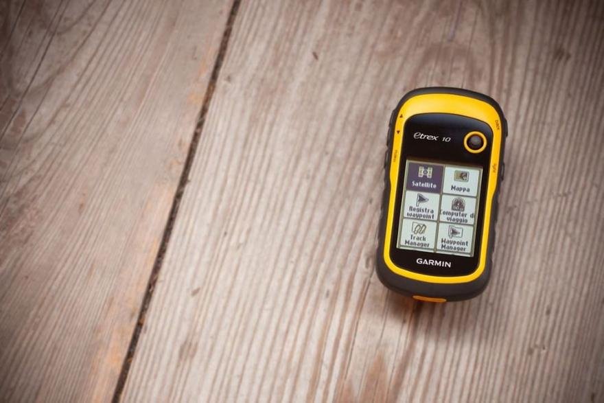
Garmin GPS units come pre-loaded with a worldwide base map. However, the map shows more details and features in the North American region than it does in other regions such as South America or Africa. With such a strong GPS database, Garmin GPS units display all routes available in the wilderness.
Besides, hikers can subscribe to the services of Birdseye Satellite Imagery for clearer and more detailed maps. Garmin handheld GPS receivers can also calculate the shortest possible route to your destination, a service that hikers will find amazingly useful especially when they’re racing against time.
Showing Altitude of the juggle
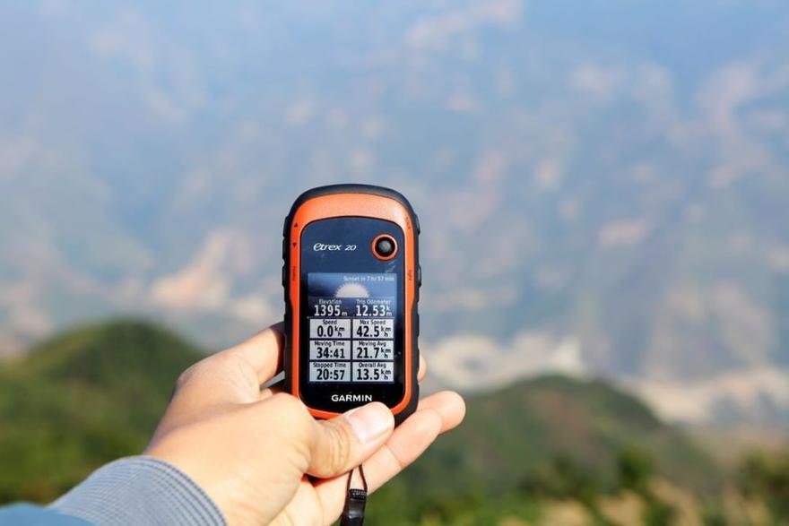
Sometimes, all a hiker needs to do is to know the altitude- height from sea level- to predict weather patterns of a region. GPS units by Garmin feature a built-in Barometric Altimeter functionality that gives hikers a real-time altitude or elevation readings.
This means that these handheld GPS receivers give hikers 3D location information that’s very accurate. Any hiker might love how fast these GPS receivers display such information on their high-resolution screen.

Photographically document hiking locations
Some models of Garmin GPS units such as Garmin Montana 680t have cameras with sufficient pixels for capturing and recording some of your favorite hiking tracks. This feature is really useful if you intend to share an image of where you are.
Hikers no longer have to carry an extra camera when out hiking in the wild if they have Garmin Montana 680t and other models like Garmin Oregon 650t. It’s so amazing what modern GPS units can do besides giving real-time location information!
Sharing data wirelessly
Once you’ve taken a clear picture of your favorite track, you might love other hikers to explore the area. But how do you share that pictorial information without any problem? Wireless data transmission is the best way to share such information with other Garmin GPS units.
Most GPS units by Garmin have Bluetooth and Wi-Fi technologies for wireless data transmission. Also, some Garmin handheld GPS units such as Garmin GPSMAP 64st have additional wireless data sharing technology- ANT transmission technology- that helps hikers share information such as tracks, waypoints, routes or pictures.
Telling the direction and acceleration
If there’s one feature that GPS units by Garmin always have is the built-in 3-axis compass system. The compass shows accurate direction and the accelerometer can show the speed of your movement. Since hiking heavily depends on direction, hikers will find these handheld GPS receivers very useful. The accelerometer will also let you know how much time you still have to reach your desired destination.

Garmin GPS receivers also assist in Geocaching
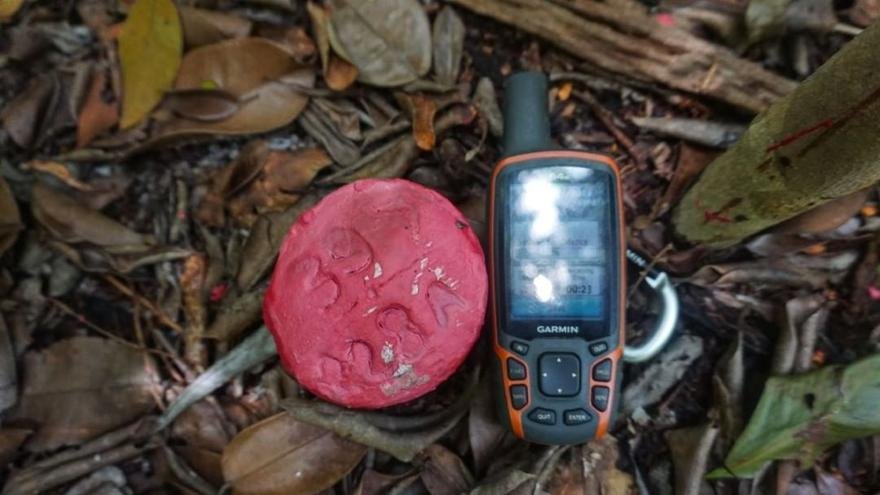
If you’re a hiker who loves paperless geocaching, you might find Garmin GPS receivers to be quite handy. A good example is Garmin Montana 680t which has 250K geocaches waiting for you to explore. Hikers can join the caches and appreciate their navigation techniques.
With such huge geocaching locations, your hiking experience will be worth remembering for ages. You can join the geocaching community and test your navigation skills with GPS units by Garmin. Besides, Garmin GPS receivers with Geocaching have hints and description to aid you in your outdoor activity spree.
Conclusion
Besides providing you with real-time information on geographical locations, GPS units by Garmin also pack other useful features that might heighten your hiking experience. Features like Barometer Altimeter and a digital camera makes these GPS receivers a must-have device when you’re heading out into the wilderness for some hiking expeditions.
There are a lot of other beneficial features that Garmin receivers pack in their design to help you have a smooth hiking experience. Your task is only acquiring a Garmin GPS receiver and conquer challenging terrains.
